For decades, scientists have known that something unusual lies beneath the waters southwest of India and Sri Lanka. It is not a trench or a volcanic crater, and it cannot be seen from the surface.
If the data shaping our sea level forecasts is even slightly off, what does that mean for the communities that rely on those forecasts to stay safe, protect their water supplies, and prepare for extreme weather?
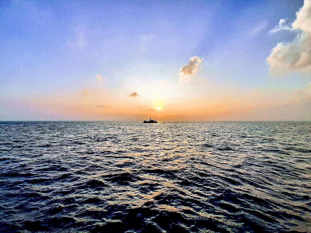
Beneath this stretch of the Indian Ocean is a vast region where Earth’s gravity is weaker than almost anywhere else on the planet. Because gravity shapes the ocean’s surface, the sea level in this area sits about 106 meters 348 feet lower than the global average. The difference is subtle to the eye but significant to the satellite systems that monitor sea level rise, storm intensity, and long term environmental change.
First identified in 1948, this phenomenon known as the Indian Ocean Geoid Low IOGL remained unexplained for 75 years. Now, new research may finally provide answers.
It’s Not a Physical Hole It’s a Gravitational One
Despite the nickname, there is no cavity, trench, or structural collapse in the seafloor. The term refers to a feature in Earth’s geoid, which is the mathematical surface scientists use to represent global mean sea level in the absence of tides, currents, and winds. The geoid is not perfectly smooth because Earth’s internal mass is not evenly distributed. Where there is more mass beneath the surface, gravity is slightly stronger and the geoid sits higher. Where there is less mass, gravity is slightly weaker and the geoid sits lower.
The Indian Ocean Geoid Low represents the most extreme example of this effect currently measured on Earth. It covers roughly 3.1 million square kilometers and is centered about 1,200 kilometers southwest of India. The sea surface in this region conforms to the weaker gravitational pull, which is why it is about 106 meters lower than the global average geoid level. This does not produce a visible depression in the water. Instead, it reflects how precisely the ocean responds to variations in gravity.

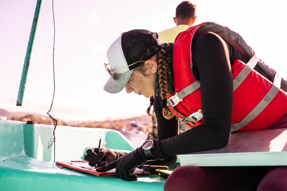
Geophysicists detect and measure these variations using satellite data and gravity surveys that map tiny differences in Earth’s gravitational acceleration. These measurements allow scientists to identify regions where the underlying mass distribution differs from surrounding areas, even when there is no obvious surface expression. In this case, the anomaly signals that something unusual exists deep within the planet rather than at the ocean floor itself.
A Mystery First Detected in 1948
The first clear signal of the anomaly came from careful gravity measurements taken at sea in 1948 by Dutch geophysicist Felix Andries Vening Meinesz. Measuring gravity from a moving vessel is hard because waves, speed changes, and navigation error can blur small differences. What made this case stand out was that the low was large enough to be detected even with the limits of mid twentieth century ocean surveying.
After that first finding, the challenge was not whether the anomaly existed. It was why it existed. For decades, much of the ocean had sparse gravity coverage, and different data sets did not always agree in detail. As more measurements accumulated from later ship surveys and then satellites, the broad feature held up, but the cause remained unsettled because multiple deep Earth processes can produce similar surface signals. A change in crust and upper mantle structure, a pattern of mantle flow, or deeper density differences can all shift the geoid in the same direction. Without a clear view of what is happening far below the seafloor, researchers had plausible explanations but no single story that fit the full set of observations.
This is why the Indian Ocean Geoid Low stayed in the category of known phenomenon, unclear mechanism. It was measurable, repeatable, and mapped, yet still missing the one thing scientists needed to settle it: a defensible link between the surface pattern and a specific set of structures and motions inside the mantle.
The Study That Rewound 140 Million Years of Earth’s History
The 2023 work did not rely on a single idea or a single snapshot of the mantle. The team used mantle convection modeling, which is a way to test how heat and rock move inside Earth over long periods of time. Instead of assuming one cause and working backward, they ran many possible histories and asked which ones could reproduce a geoid low with the same overall character as the one measured in the Indian Ocean.
The researchers used 19 computer models to simulate mantle and plate motion over the past 140 million years, then compared the outcomes to see which scenarios produced a similar low. This kind of approach matters because the mantle is not directly observable at the depths involved. Models let researchers combine what is known about plate movements, subduction history, and mantle flow physics into a single testable framework.
The simulations effectively rewound Earth’s deep geological history, tracking shifting plates, subducting ocean crust, and large temperature variations inside the planet. The core question was which combination of sinking slabs and rising mantle material could plausibly create a sustained mass shortfall beneath the northern Indian Ocean.
Prof. Attreyee Ghosh explained the significance of the anomaly, “The existence of the Indian Ocean geoid low is one of the most outstanding problems in Earth Sciences. It is the lowest geoid gravity anomaly on Earth and so far no consensus existed regarding its source.”
The simulations revealed that the answer likely lies in the death of an ancient ocean.
The Role of the Ancient Tethys Ocean
The explanation centers on the Tethys Ocean, a vast body of water that once separated the northern landmass of Laurasia from Gondwana to the south. As plate movements reorganized the planet during the breakup of Gondwana around 180 million years ago, sections of Tethys oceanic crust were forced beneath the Eurasian plate. This process carried cold, dense slabs of former seafloor downward into the mantle over tens of millions of years.
Subducted slabs do not simply disappear. They can persist as coherent, high density structures that sink through the mantle under their own weight. As these slabs descended, they altered the flow patterns of surrounding mantle material. By about 20 million years ago, model results suggest that remnants of this ancient oceanic crust had reached the lowermost mantle, where temperatures and pressures are extreme and material behavior differs from that in shallower regions.
At those depths, the arrival of dense slab material would have disturbed pre existing structures near the core mantle boundary beneath Africa. This disturbance set up a chain reaction in mantle circulation beneath the Indian Ocean region. The key point is that the geoid low traces back to long term plate tectonic history. The sinking of Tethys seafloor changed how material moved deep inside the planet, creating the conditions required for the gravity anomaly observed today.
A “Mass Deficit” Beneath the Indian Ocean
In this context, a mass deficit does not mean empty space. It means that, across a large volume of the mantle, the material is on average less dense than the surrounding mantle at the same depth. Density differences matter because they change the total mass under a given patch of Earth’s surface, and that changes the strength of local gravity.
The study’s explanation is that deep mantle dynamics set up a broad region of hotter, lighter material beneath the northern Indian Ocean. Hotter mantle rock expands slightly and becomes less dense than cooler rock, even though it remains solid on these timescales. When a large enough volume shifts toward lower density, the combined effect is measurable at the surface as a negative geoid anomaly.
Prof. Ghosh described the mechanism this way, “A geoid low or a negative geoid anomaly would be caused by a mass deficit within the deep mantle. Our study explains this low with hotter, lighter material stretching from a depth of 300 km up to ~900 km in the northern Indian Ocean, most likely stemming from the African superplume.”
A practical way to think about it is scale. Small density changes would not stand out against Earth’s background gravity. But when the low density zone extends hundreds of kilometers in depth and spans a region the size of a large country, it can lower the geoid enough to show up as a major dip in the sea surface relative to global mean sea level.
Why This Story Still Matters for Health and Wellness
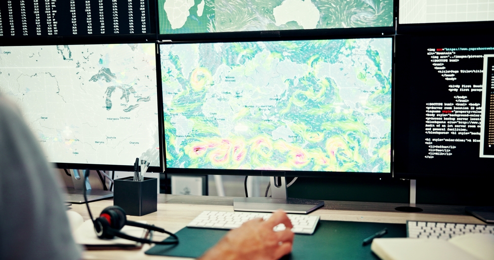
At first glance, a gravity anomaly seems far removed from everyday health. But modern public health depends heavily on environmental measurement systems. Sea level monitoring, storm intensity tracking, and long term climate modeling all rely on accurate satellite data. Satellite data, in turn, depends on precise gravity and geoid calculations.
When sea level trends are misread, even slightly, coastal risk projections shift. That affects how governments plan hospitals, water systems, sanitation infrastructure, and evacuation routes. In parts of South Asia and East Africa bordering the Indian Ocean, dense coastal populations already face increased flooding, saltwater intrusion into freshwater sources, and post storm infectious disease risk. Accurate baseline measurements improve early warning systems and long term resilience planning.

There is also a broader systems level health connection. Environmental stressors such as displacement, water insecurity, and extreme weather exposure are associated with higher rates of respiratory illness, vector borne disease, and mental health strain. The more precise our understanding of physical Earth processes, the more reliable our environmental forecasts become. Reliable forecasts support preventive health strategies rather than reactive crisis response.
Human wellbeing is closely tied to planetary systems. The stability of coastlines, freshwater access, and climate patterns influences food security, stress levels, and disease exposure. Deep Earth dynamics may seem abstract, but the measurement tools refined through this research strengthen the environmental intelligence that modern health protection depends on.
A Reminder of Earth’s Deep Time Processes
The Indian Ocean Geoid Low is more than a geological curiosity. It is the surface signal of processes that began with the breakup of ancient continents and unfolded over millions of years beneath the mantle. What started as shifting ocean crust and deep mantle circulation now shapes measurable features of our planet today. That continuity matters because it shows that Earth systems are connected across time and depth, and that precise measurement of those systems forms the foundation of how we interpret environmental change.

Accurate gravity and geoid models strengthen the reliability of sea level tracking, disaster forecasting, and long term environmental risk assessment. Those measurements influence how communities prepare for flooding, protect freshwater supplies, and reduce disease risk after extreme weather events. The gravity anomaly beneath the Indian Ocean is a reminder that human health is closely linked to planetary data. When our understanding of Earth becomes more precise, the information guiding prevention and resilience becomes stronger as well.


333985
Tuesday 28th of April 2026
无话可说,只是看看
porntude
Sunday 26th of April 2026
So dive in, have fun
啪啪导航
Tuesday 14th of April 2026
色即是空,空即是色
333985
Tuesday 14th of April 2026
wish you best and best
333985
Thursday 9th of April 2026
Mass comment blasting: $10 for 100k comments. All from unique blog domains, zero duplicates. I will provide a full report and guarantee Ahrefs picks them up. Email mailto:[email protected] for payment info.If you received this, you know Ive got the skills.